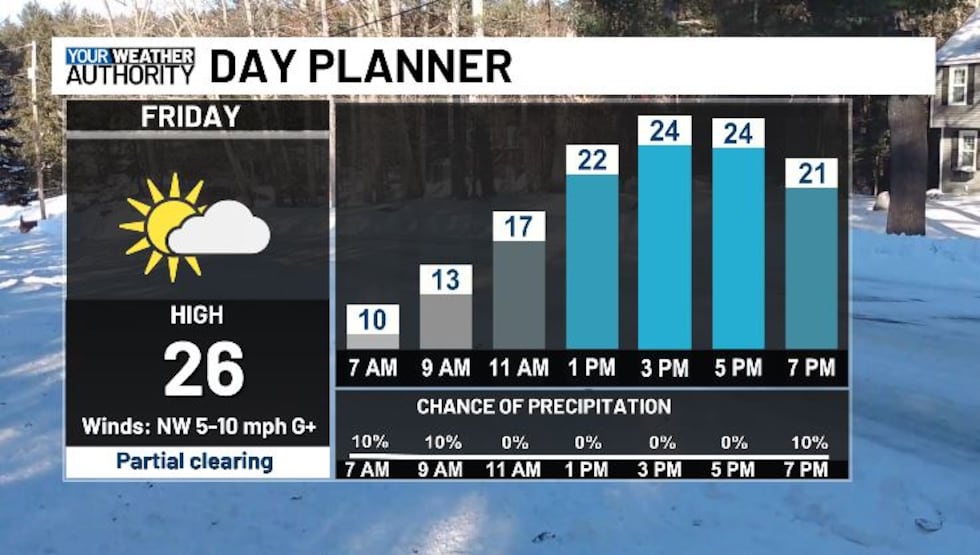
Snow tapers off into Friday, a gradual warm-up is in store this weekend
Snow ends tomorrow, but we’ll still be cold for one more day
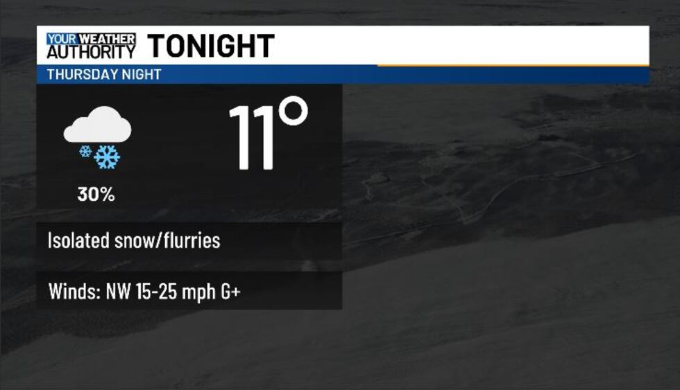
BLUEFIELD, W.Va. (WVVA) -Tonight will be frigid, with a few more snow showers across the higher terrain and lows in the single digits and low teens. Wind chills will likely be around or below zero overnight and into early Friday as we continue to stay breezy as well.
A WINTER STORM WARNING WILL CONTINUE ACROSS Western Greenbrier, Summers, Mercer, and Tazewell county until 1 AM Friday.
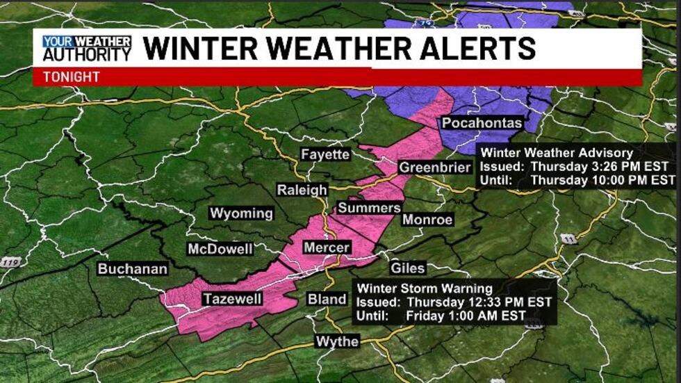
A WINTER WEATHER ADVISORY WILL CONTINUE UNTIL 10 PM TONIGHT FOR POCAHONTAS COUNTY.

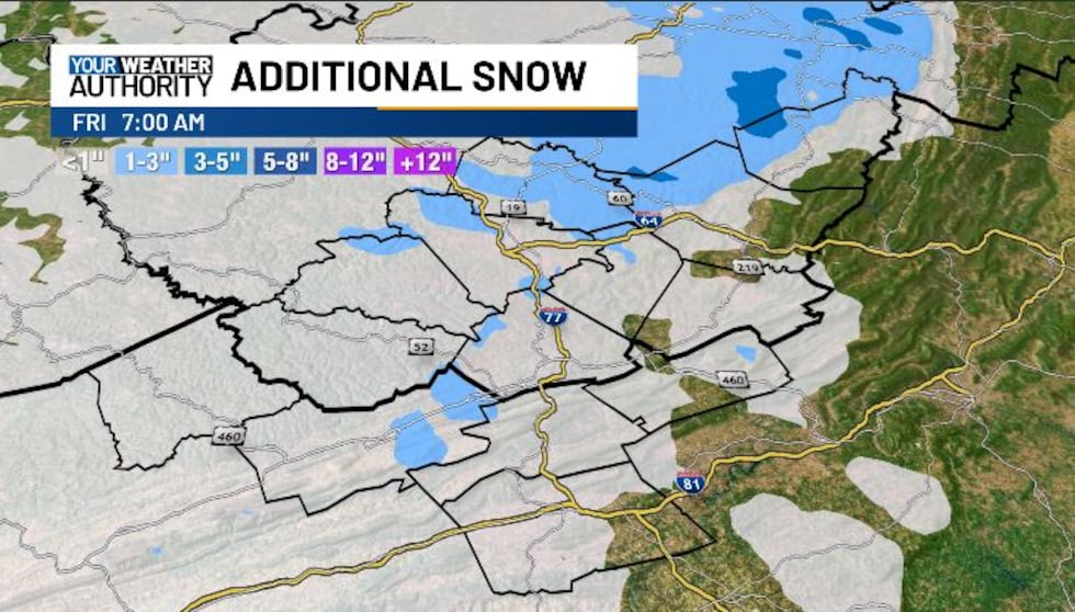
Generally, through tonight, a trace to 2″ of snow will be possible in warned/advisoried areas.
A COLD WEATHER ADVISORY will be in effect overnight for NW Pocahontas, SE Fayette, SE Raleigh, Wyoming, McDowell, Buchanan, Greenbrier, Summers, Mercer, Monroe, Giles, Wythe, and Bland counties.

We look to see a mix of sun and clouds through the weekend with more seasonable temps; highs should hit the upper 30s-low 40s, and lows should be in the upper teens-mid 20s Saturday and Sunday night.
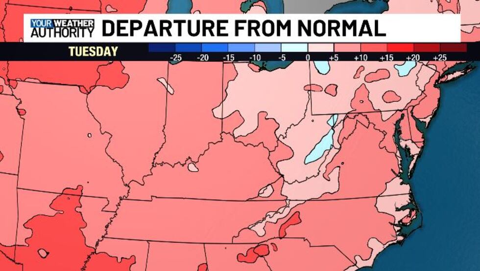
Next week, temps should spike above normal for a while....
STAY TUNED!
Copyright 2025 WVVA. All rights reserved.


