Scattered rain moves in on Thursday, turning colder Thursday night
We’ll be cooler with a few flakes around to wrap up the work week
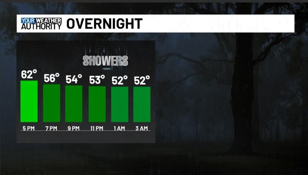
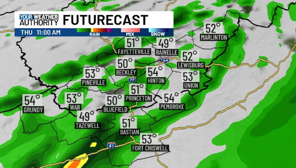
BLUEFIELD, W.Va. (WVVA) - Tonight, temps will stay mild with increasing SW wind flow, hovering in the upper 40s-low 50s through early Thursday AM. As a frontal system moves in, we’ll likely see a few showers overnight, followed by wider-spread scattered showers throughout the day on Thursday.
As of now the flood risk is looking little to none, but a few rumbles of thunder and some isolated, quick, locally heavy downpours still can’t be ruled out.
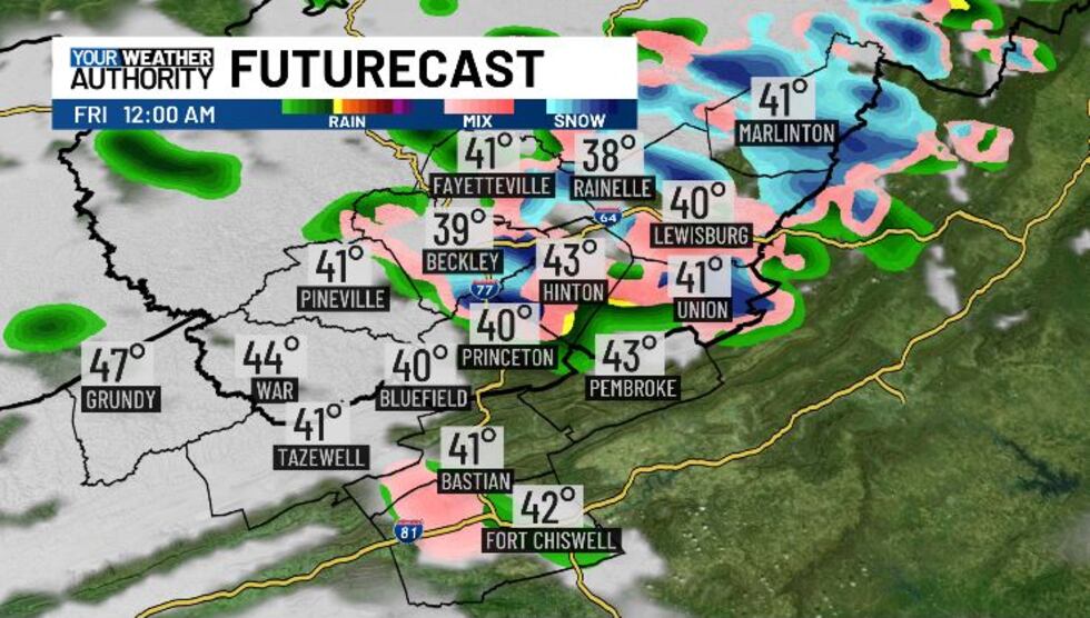
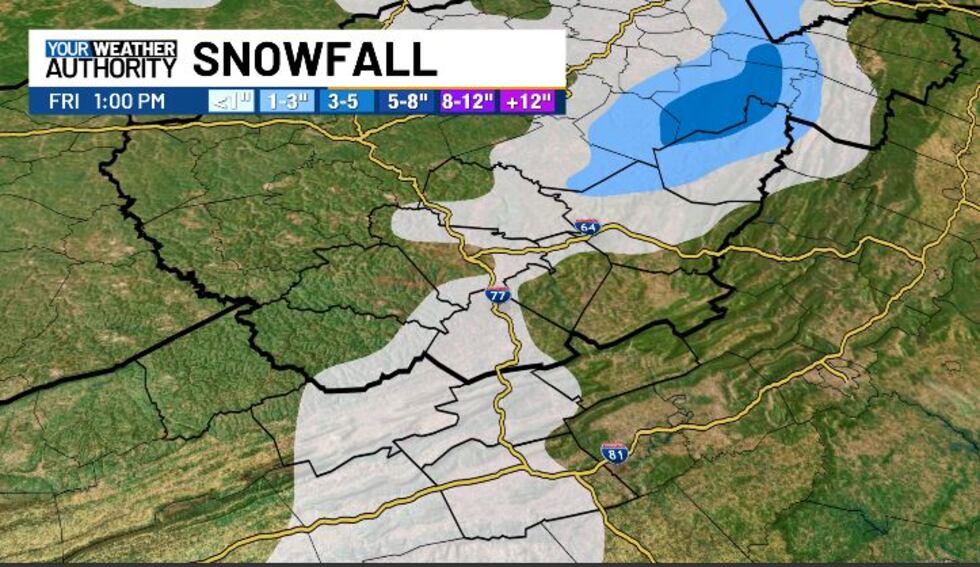
Temps will start around the 50-degree mark Thursday AM, and will fall slowly through the day as NW winds start to pick up behind the departing cold front. By Thursday night, we’ll hit the upper 20s-low 30s. A few snow showers will be possisble Thursday evening-Friday AM, but they won’t amount to much (generally less than an inch across the area). Nevertheless, spotty slick areas due to black ice as well could be possible through Friday, AM.
Highs Friday will eventually hit the 40s and we should dry out with some breaks of sun.
This weekend, we look mild on Saturday, but another low-pressure system will swing in, bringing us a bit more spotty rain/eve snow.
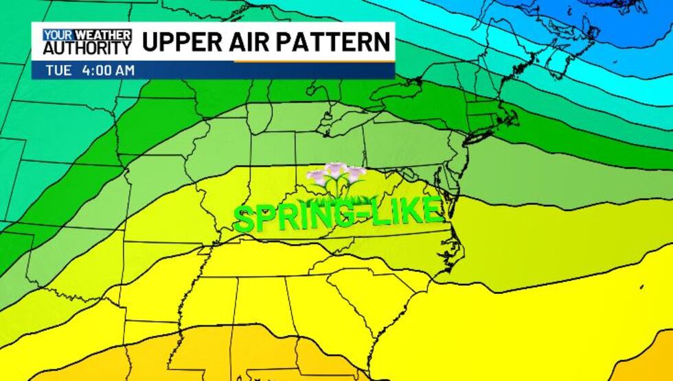
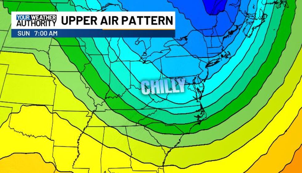
Sunday looks chilly, but temps will warm up again at the beginning of next week!
STAY TUNED!
Copyright 2025 WVVA. All rights reserved.


