We look unsettled, with a gradual cool-down into the weekend
Occasional rain and snow possible overnight-early Friday, and on Saturday
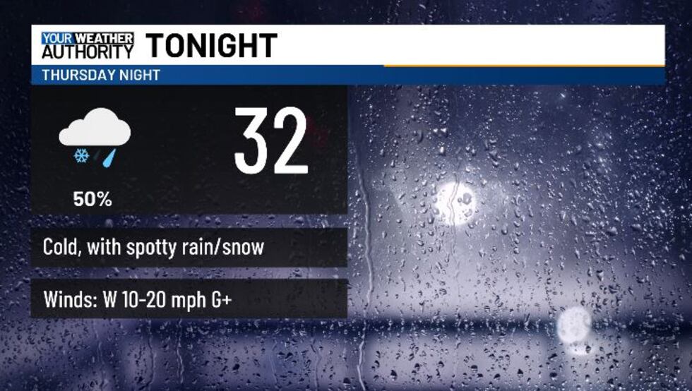
BLUEFIELD, W.Va. (WVVA) - A cold front will be moving out of the area tonight, and colder WNW wind flow will take over into the evening. Temps tonight will eventually dip into the upper 20s-mid 30s. We’ll see more scattered rain this evening, followed by occasional rain and snow overnight-early Friday.
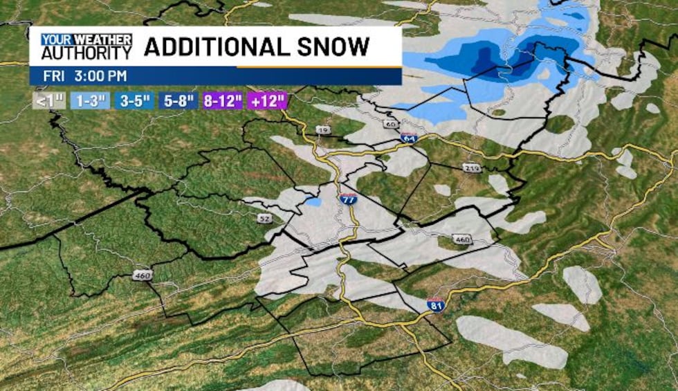
Most of us won’t see any accumulation, but we could see a coating to an inch across portions of Western Greenbrier and Pocahontas counties. Some slick areas due to black ice will also be possible through early Friday. Tomorrow, highs will still push above freezing by the afternoon, into the upper 40s-low 50s. Winds will lighten up as well.

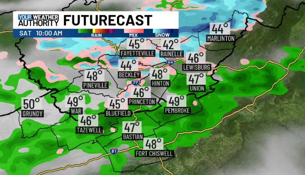
Another quick moving frontal system will dive into the area Saturday, bringing more scattered light rain and occasional snow (mainly Sat evening). Again accumulations look little to none and we shouldn’t be looking at much of a flood risk either. Temps will still hit the teens Sat night-early Sunday, which could lead to some slippery areas.
We’ll dry out, but Sunday looks chilly with highs in the 30s and lows in the teens.
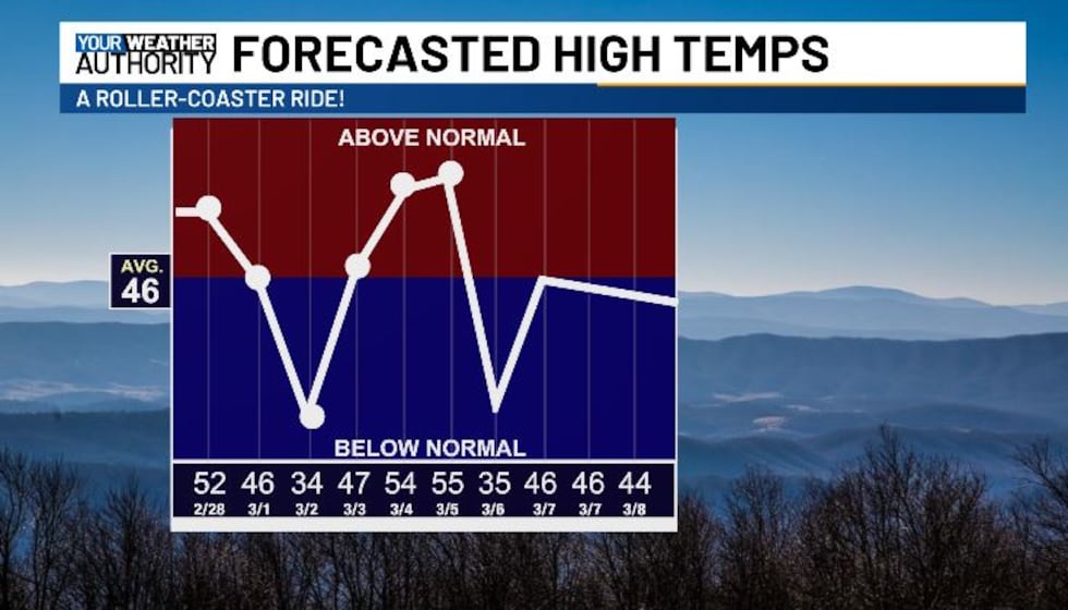
We’ll start to warm up again at the beginning of next week...LET THE ROLLER COASTER RIDE CONTINUE!
Copyright 2025 WVVA. All rights reserved.


