A bit of rain, snow, and wind on tap for Saturday; we look colder into Sunday
Winter tries to make a comeback this weekend
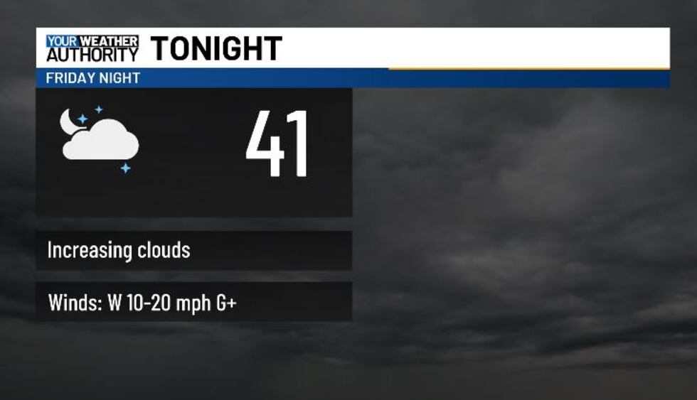
BLUEFIELD, W.Va. (WVVA) - Tonight, temps will hit the 30s and low 40s, and we’ll see gradually increasing cloud cover out ahead of an incoming frontal system.
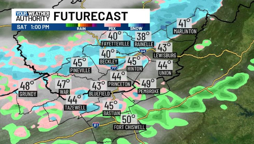
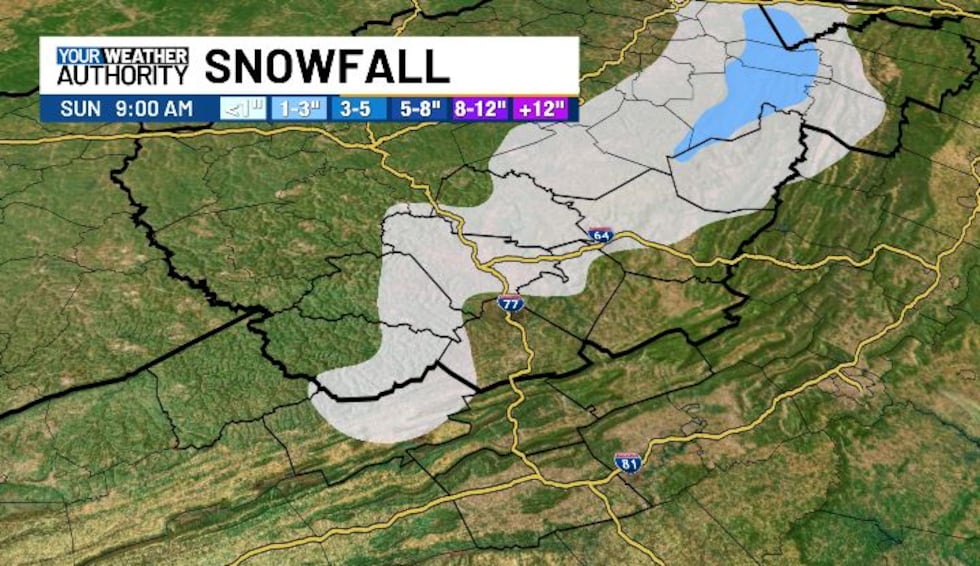
Light on and off rain looks likely on and off throughout the day Saturday, mixing with a bit of snow by the late afternoon/early evening. The flood risk should stay minimal, and snow won’t amount to much Saturday night-Sunday (generally flakes to 1″ at best across the higher terrain). Highs Saturday will be in the 40s.
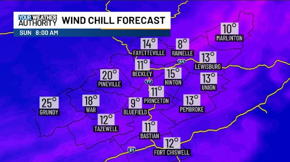
Temps will dip into the teens Saturday night, so BLACK ICE will be a concern as anything wet freezes over. We’ll be a bit windy Saturday and into Saturday night, so wind chills will likely dip into the single digits for many! BUNDLE UP!
Sunday looks dry and sunny but cold, with highs in the 30s. Sunday night, temps will hit the teens again.
We look warmer again to start next week, and should hit the 50s and 60s by Tue-Wed.
STAY TUNED!
Copyright 2025 WVVA. All rights reserved.


