Cold night ahead in the teens, remaining chilly for Sunday
A few snow showers or flurries before midnight, becoming mostly clear overnight
A cold front moved through the area dry, but now northwest winds are bringing light rain or snow as the northwesterly flow strengthens this evening. Rain or snow showers may develop before midnight, then skies will clear overnight. It will be cold, with lows in the mid to upper teens.
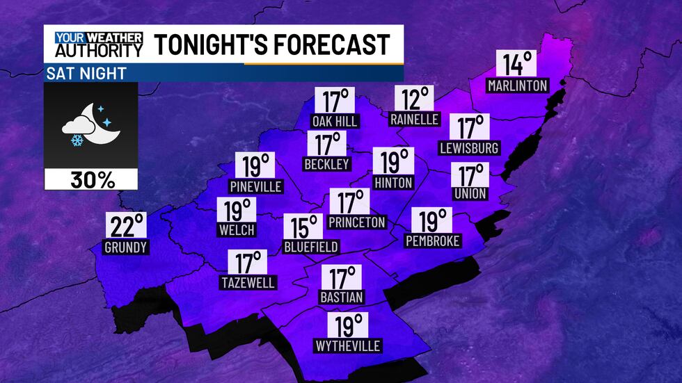
Northwest winds will blow at 10 to 15 mph, with gusts reaching up to 30 mph. Wind chills will drop to the single digits across the mountains and the lower teens in the lower elevations.
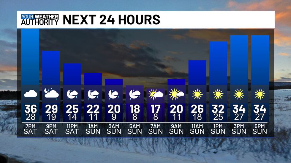
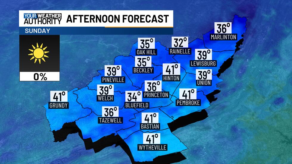
On Sunday, expect sunny but chilly conditions. Highs will reach the low to mid-30s in the mountains, while lower elevations warm into the upper 30s to low 40s.
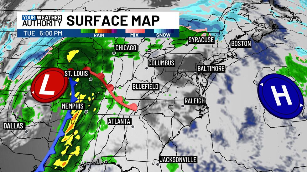
Sunshine will stick around through Monday. By Tuesday, clouds will increase, but rain should hold off until Tuesday night into Wednesday when the next storm system arrives.
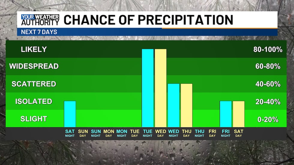
Thunderstorms could develop Wednesday morning as a cold front moves in.
Another quick burst of cold air will arrive on Thursday, bringing a chance for snow showers.
Copyright 2025 WVVA. All rights reserved.


