We’ll be a bit more seasonable, but still unsettled into the weekend
Temps should rebound into Friday and Saturday
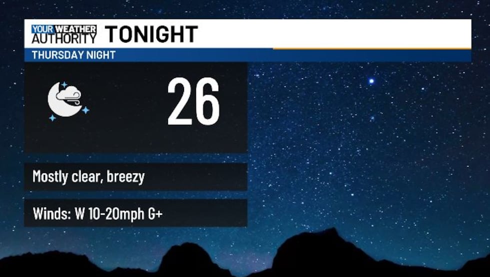
BLUEFIELD, W.Va. (WVVA) - Tonight, temps will hit the 20s , and snow should eventually taper off, and we’ll see a partial clearing. We’ll still be a bit breezy overnight, with wind chills dipping into the teens.
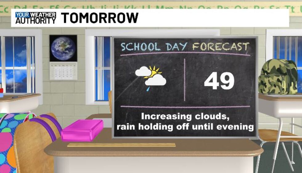
Tomorrow, temps should hit the upper 40s-low 50s. We look to see increasing clouds, but through the day, we should stay dry and winds should lighten up. Another frontal system will be heading in Friday night, and showers will begin to develop, mainly after sundown.
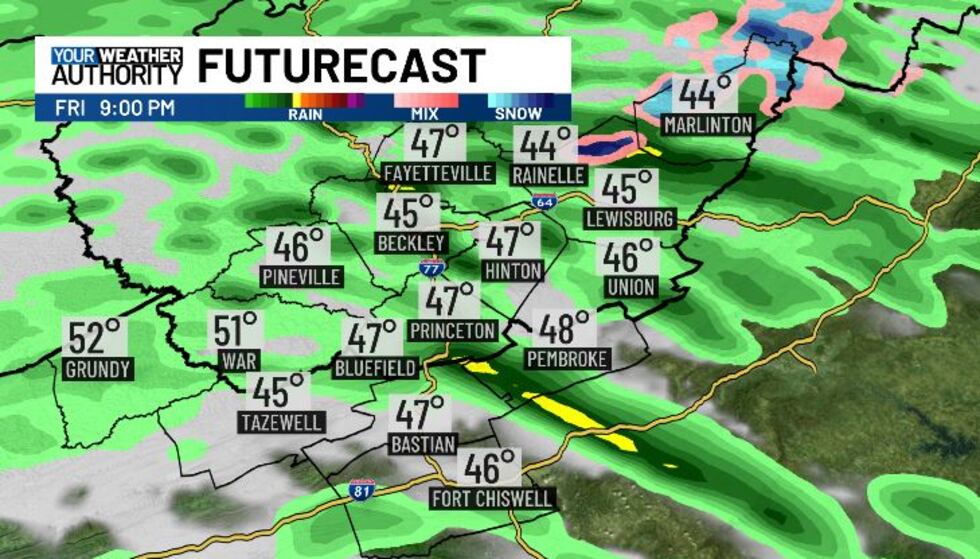
We’ll hit the 30s and low 40s Friday night, so most of us will stay above freezing- just seeing cold scattered rain developing into Saturday morning for a while. Where temps are a bit colder though, mainly across the higher terrain Western Greenbrier and Pocahontas counties, we could see a little snow mix in through the morning.
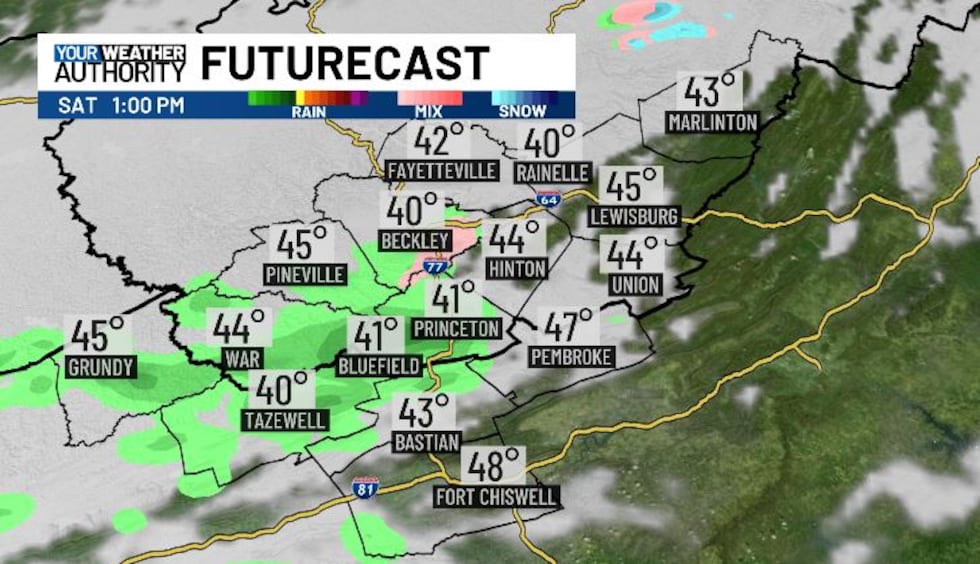
We’ll see additional spotty rain/snow elsewhere Saturday night, but snow will only amount to a trace at best. Temps Saturday night will eventually hit the 20s and low 30s, and we look to dry out into Sunday AM.
Sunday will bring partly cloudy skies and seasonable high temps in the 40s and low 50s.
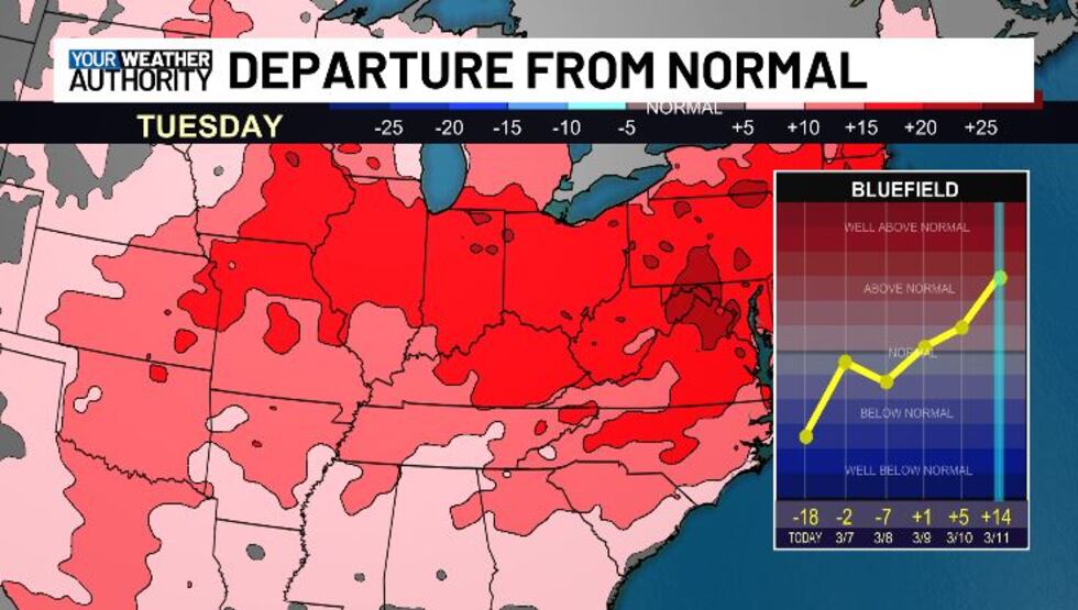
We look to warm up to above-normal temperatures next week....
STAY TUNED!
Copyright 2025 WVVA. All rights reserved.


